Charing Cross
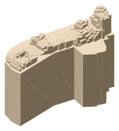
Charing Cross is a junction in Westminster, London, England, where six routes meet. Since the early 19th century, Charing Cross has been the notional "centre of London" and became the point from which distances from London are measured. Clockwise from north, the routes that meet at Charing Cross are: the east side of Trafalgar Square leading to St Martin's Place and then Charing Cross Road; the Strand leading to the City; Northumberland Avenue leading to the Thames Embankment; Whitehall leading to Parliament Square; The Mall leading to Admiralty Arch and Buckingham Palace; and two short roads leading to Pall Mall and St James's.
From Wikipedia, CC BY-SA 4.0.
Identify Charing Cross with LookUp
Stand in front of it, point your camera, and LookUp names it from where you are, with these facts on the card. Every landmark you capture turns to colour on your London map.
Download on the App Store